

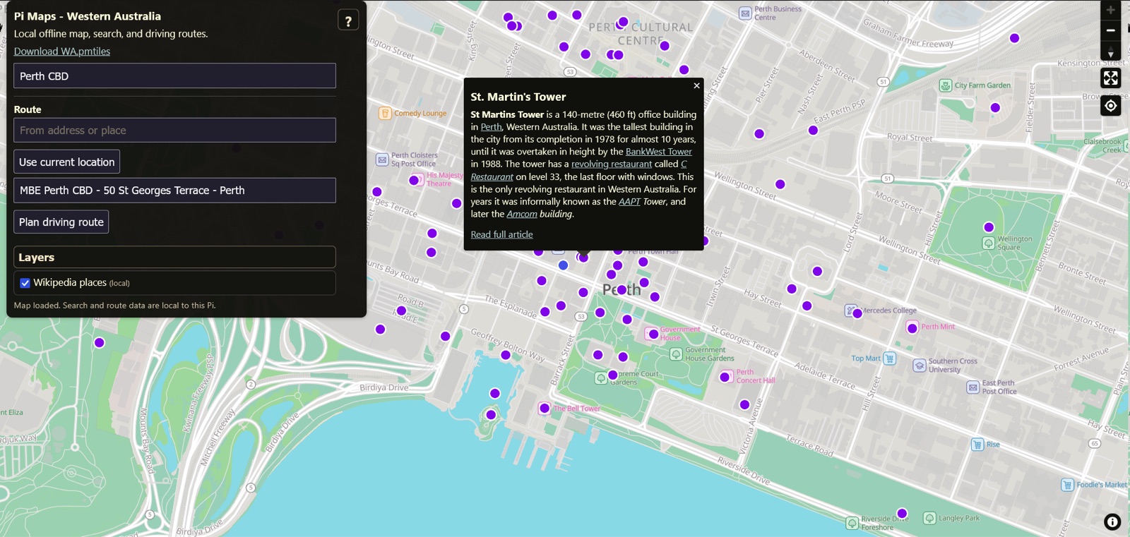
Pi Maps shipped its first public release today: a self-hosted map stack for a Raspberry Pi that keeps working when the internet does not. Local vector maps, local search, BRouter driving routes, and an optional layer of Wikipedia through Kiwix, all answered from data sitting on the machine.
What v1.0.0 gives you
The supported edition is Western Australia on ARM64 Linux, the Raspberry Pi being the normal target. It runs under Docker Compose and comes up on port 8090. The first start downloads the region’s 22 data assets, about 429 MiB in total, and verifies the byte size and SHA-256 of every one before the long-running services start. After that, normal map, search and routing use does not touch a public map API.
Search is deliberately local, and the project’s own limitation notes say so plainly: if the edition’s data does not contain a place, Pi Maps does not ask a public geocoder and does not invent a coordinate. Custom regions are possible, but the maintainer describes them as a maintainer exercise, not a v1 compatibility promise.
The Wikipedia layer
The core stack works without it. Full mode adds wikipedia_en_all_mini_2026-06.zim from Kiwix, about 12.5 GB, downloaded and verified automatically at a deliberately gentle default of about 5 MiB/s. The file comes from Kiwix upstream, not as a release asset here.
What it is not
It plans routes. It is not live navigation: no automatic rerouting, no spoken guidance, no background navigation, no live traffic, and no Android Auto or CarPlay. For remote access, LAN HTTP covers map, search and routing; the documented route is Tailscale Serve for HTTPS, because browsers require a secure context for geolocation. Funnel is explicitly not part of the setup.
The project is maintained for private use. Pull requests are not accepted, and no support or compatibility guarantee is offered. The code is AGPL-3.0-only, with OpenStreetMap, MapLibre, BRouter and Kiwix data keeping their own licences.
My read
The scope is small, and every limit is written down before you install it: one region, one architecture, no pull requests, no support promise. For a map that has to work when nothing else does, that is the right shape. Whether the region list ever grows is open, and the maintainer says as much.
Source: the Pi Maps repository and its v1.0.0 release notes.